UN Backs “Corrected” World Map Showing Africa’s True Size; U.S. Sole Opponent
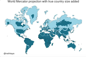
The United Nations General Assembly on the 4th adopted a symbolic resolution supporting the gradual adoption of world maps that more accurately represent the actual land areas of different regions, challenging the centuries-old Mercator projection. The initiative, led by the African nation of Togo and backed by the African Union, passed with 164 votes in favor, one against and six abstentions, making the United States the only country to vote against the resolution.
At the heart of the “correct the map” campaign is an effort to change the way people have long perceived the relative sizes of continents around the world. The Mercator projection, first introduced in 1569, was primarily designed for maritime navigation. While it does a good job of preserving directions, distortion of land areas becomes increasingly severe toward the North and South Poles, making regions at higher latitudes appear far larger than they actually are.
One of the most striking examples is the comparison between Greenland and Africa. On traditional Mercator world maps, Greenland appears almost as large as Africa. In reality, however, Africa covers roughly 30 million square kilometers, compared with about 2.16 million square kilometers for Greenland, meaning Africa is approximately 14 times larger. South America and India, both located closer to the equator, also appear relatively smaller under the Mercator projection.
The alternative projection supported by the United Nations is the “Equal Earth” projection, introduced in 2018. Designed primarily to preserve the relative areas of continents, it provides a more accurate representation of the actual size of different regions while minimizing distortion of their shapes. The resolution encourages governments, schools, international organizations and other institutions to gradually adopt maps based on such projections. However, it does not legally require countries to ban or phase out the Mercator projection.
The Togolese government has argued that maps are not merely geographical tools, but can also influence how people perceive the importance of different countries and regions. Before the vote, Togo’s Foreign Minister Robert Dussey emphasized that “a fair world begins with a fair map.” He said Togo plans to begin updating geography textbooks in schools by the end of this year and intends to work with the African Union, other countries, technology companies and mapping services to promote wider adoption.
African proponents argue that the long-standing use of world maps involves not only technical distortions of land area but also a global perception shaped by the legacy of the colonial era. Supporters say that when Africa is visually “shrunk” on maps, it could influence perceptions of the continent’s population, resources, economy and geopolitical importance. The “Correct the Map” movement therefore seeks to use map reform to present Africa’s true geographical scale more accurately.
The United States, however, took a completely different position on the resolution, becoming the sole country among the 164 nations that supported it to vote against the measure. Washington argued that the initiative carries an “ideological agenda” and said that debating map projections distracts the international community from what it considers more pressing issues, including global peace, prosperity and international relations.
It is important to note that the Mercator projection is not an “incorrect map,” but rather a map projection designed for specific purposes. Because it preserves angles and directions, it remains useful for maritime and aviation navigation. Togo has therefore stressed that the initiative is not intended to completely eliminate the Mercator projection, but rather to encourage greater use of projections that accurately reflect land areas in education, media and general-purpose world maps.
What may appear to be a simple debate over whether to “change a world map” actually reflects a broader global reassessment of history, the legacy of colonialism and geographical perceptions. Although the UN resolution is not legally binding, its overwhelming support from 164 countries has opened a new debate over how the world should be represented on maps and could eventually encourage schools, media organizations and digital mapping services to change the way people visualize the world.
- 15 reads
Human Rights
Fostering a More Humane World: The 28th Eurasian Economic Summi
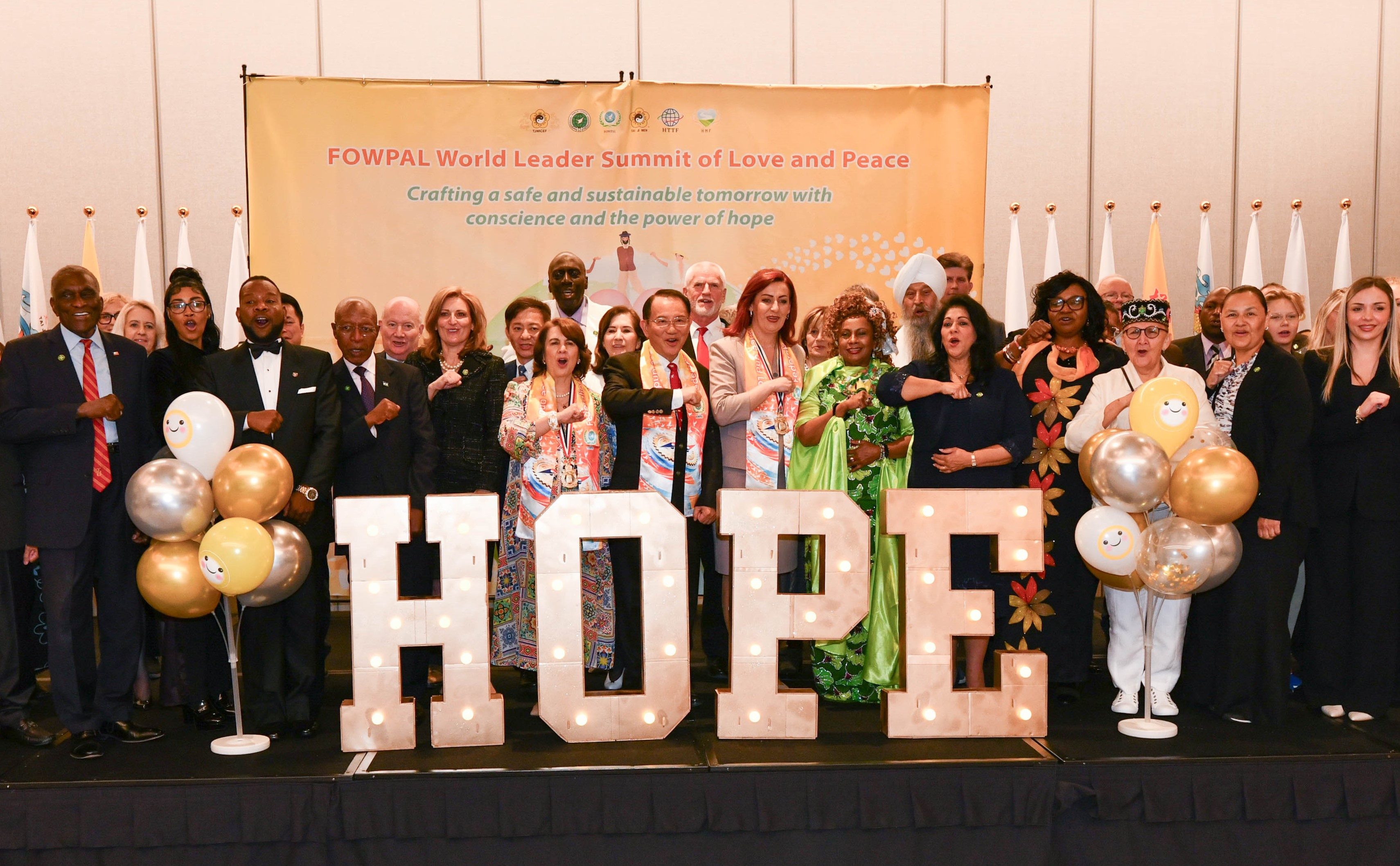
Conscience, Hope, and Action: Keys to Global Peace and Sustainability
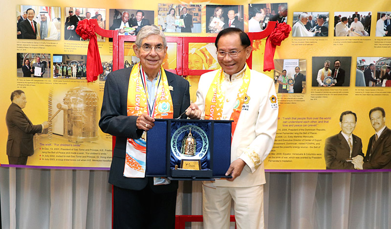
Ringing FOWPAL’s Peace Bell for the World:Nobel Peace Prize Laureates’ Visions and Actions
Protecting the World’s Cultural Diversity for a Sustainable Future
Puppet Show I International Friendship Day 2020