Science
Hubble Unmasks Ghost Galaxies

Astronomers have puzzled over why some puny, extremely faint dwarf galaxies spotted in our Milky Way galaxy's back yard contain so few stars.
- Read more
- 377 reads

Sun Releases X1.1 Class Flare

This close-up image captured by NASA’s Solar Dynamics Observatory (SDO) shows the July 6, 2012 X-class flare captured in the 171 Angstrom wavelength.
- Read more
- 511 reads
LROC Images Copernicus Central Peak

Copernicus crater central peak casts a long shadow to the west over a crater floor that was flooded with impact melt that cooled and hardened to form this spectacular landscape.
- Read more
- 613 reads

Nailing Down the Elusive Higgs Boson

Illustration of two protons beams colliding in the Large Haldron Collider. Experiments similar to this one will be analyzed for Higgs boson particle production.
- Read more
- 567 reads
The Mysterious Case of the Disappearing Dust

This artist's concept illustrates a dusty planet-forming disk, similar to the one that vanished around the star called TYC 8241 2652.
- Read more
- 496 reads
Mars Panorama: Next Best Thing to Being There

This full-circle scene combines 817 images taken by the panoramic camera (Pancam) on NASA's Mars Exploration Rover Opportunity. It shows the terrain that surrounded the rover while it was stationary for four months of work during its most recent Martian winter.
- Read more
- 491 reads
A geyser of hot gas flowing from a star

The NASA/ESA Hubble Space Telescope has captured a new image of Herbig-Haro 110, a geyser of hot gas flowing from a newborn star.
- Read more
- 484 reads
Solar Fireworks on July 2

This view of the July 2, 2012 M5.6 class solar flare was captured by the Solar Dynamic Observatory (SDO) satellite.
- Read more
- 397 reads
Human Rights
Fostering a More Humane World: The 28th Eurasian Economic Summi

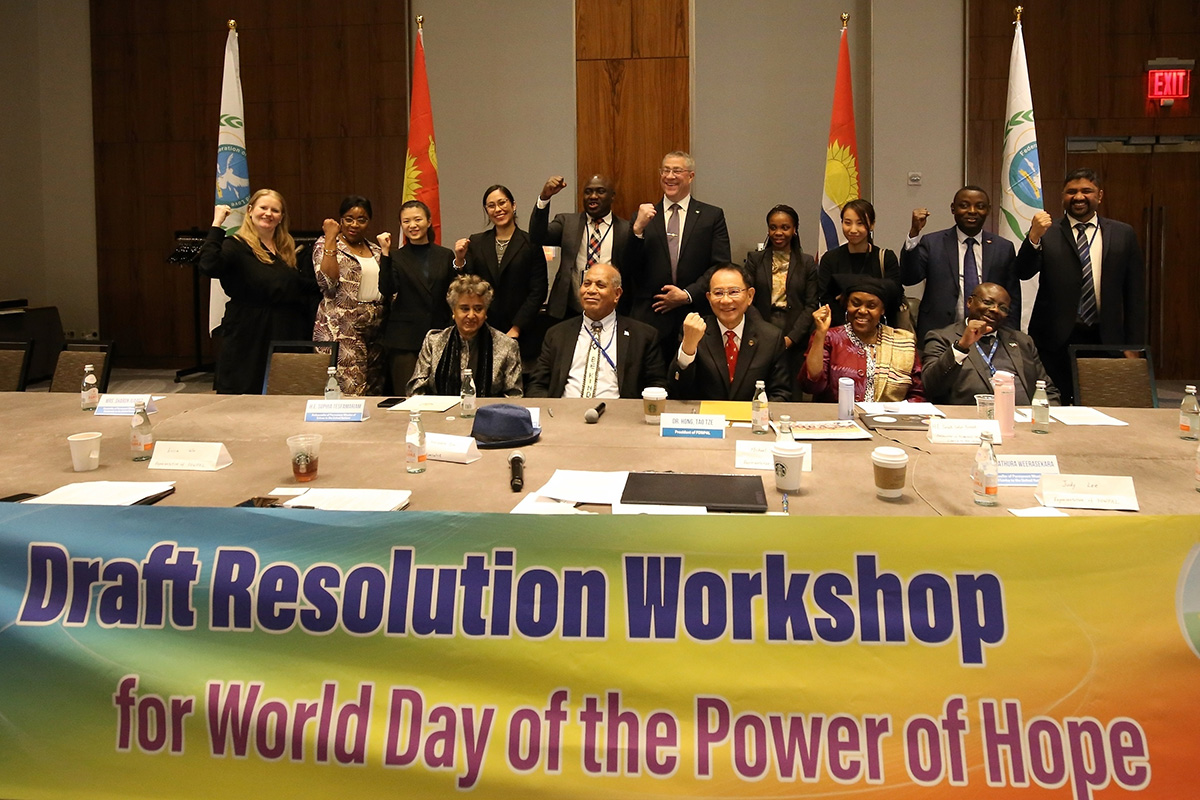
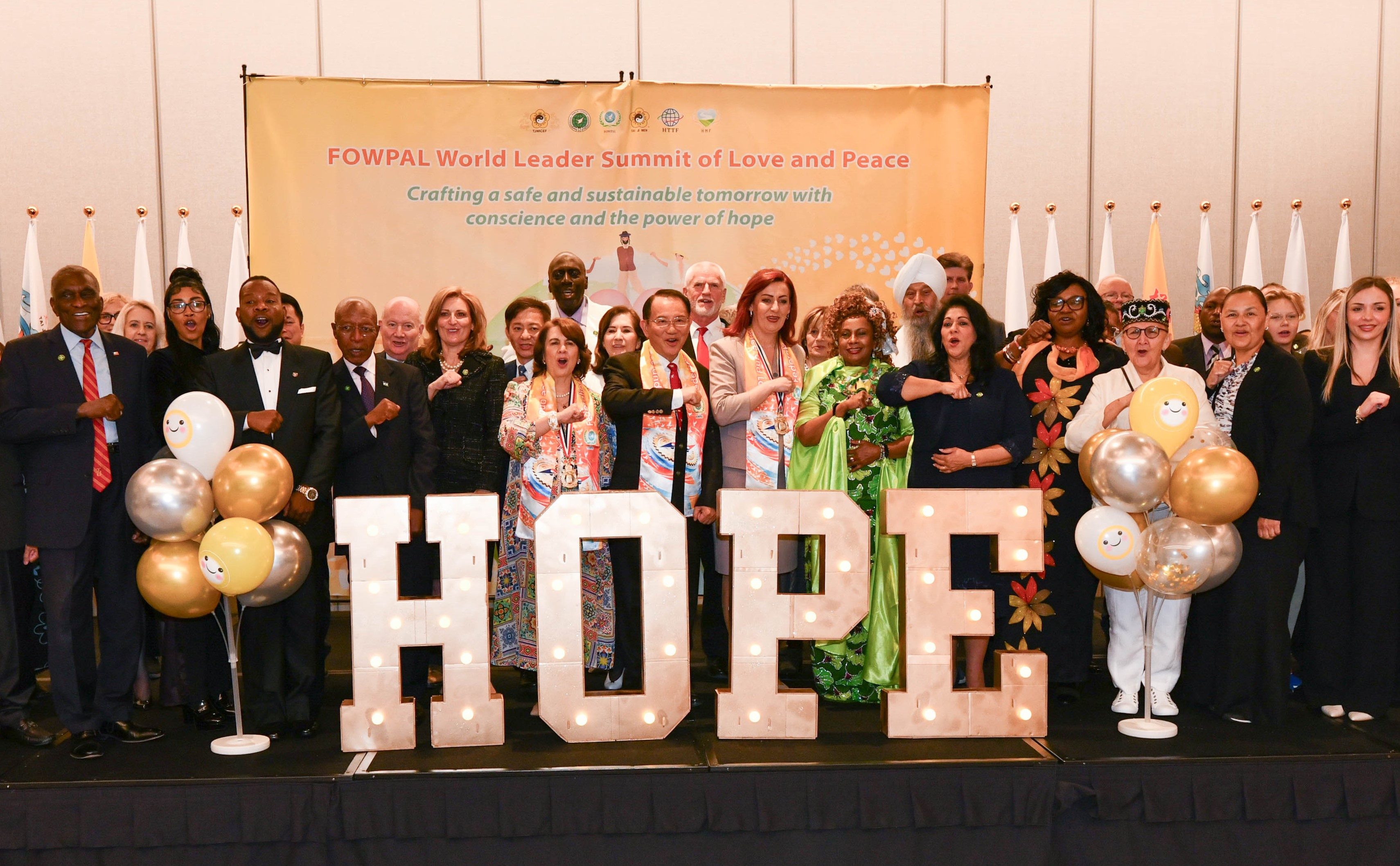
Conscience, Hope, and Action: Keys to Global Peace and Sustainability

Ringing FOWPAL’s Peace Bell for the World:Nobel Peace Prize Laureates’ Visions and Actions

Protecting the World’s Cultural Diversity for a Sustainable Future

Puppet Show I International Friendship Day 2020